

Many golfing greens around the world have seen better days. Over the past few years, the number of players has steadily declined. With that in mind, it is necessary for golf course owners to manage their resources more effectively and efficiently. Innovation is happening at such a rapid pace and it is only but necessary to use new technology and updated data in order to make smart decisions.
To technologies that are entering the golf industry are 3D mapping and drone technology. Both have the potential to create courses that are not just more efficient but are more attractive too. According to tech entrepreneur Hassan Sadiq Himex, the numerous benefits that these two technologies can potentially bring about make them crucial elements in reinvigorating the industry.
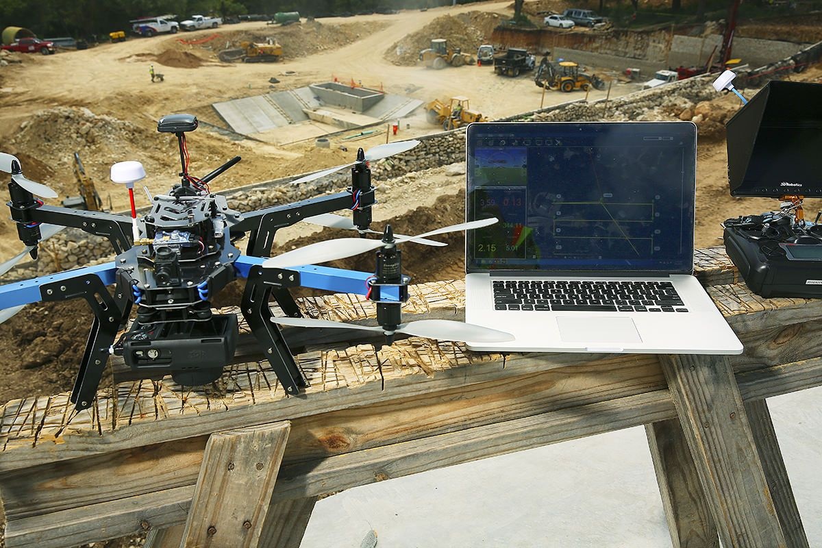
Accurate 3D models are very important tools in the design and maintenance of golf course. Drone mapping, which involves 3D surveying while using drone imagery, provides crucial and quantitative data that are useful in the planning of these golf courses. Oftentimes, tens of thousands of photos will be taken on the air that will then be used to reconstruct both 2D and 3D maps of golf courses using a special software. These tools are then used in combination with other machine learning technology and datasets to provide better insight into the courses and to decide which course of action will benefit it best.
Applications like these play a crucial role in making it possible to come up with effective plans that will help improve the designs of golf courses. These tools also provide helpful insights on the golf courses to where they can get accurate topography maps and 3D models, as well as information like bedrock depth and soil composition. These maps will then be used in the design process so flood risk areas and elevation will be determined and then incorporated into the design.
The technology is quite useful in maintenance too. It is easier for management to monitor the green as well as conduct analysis hole by hole, especially for courses that are quite large. A map of a golf course in 3D would provide the owners with better control over the course to ensure that their customers will remain satisfied at all times. There has been interest among course owners to get detailed contour mapping this will help allow them to maintain golf courses, especially famous ones, in the most historically accurate manner possible.
Models made out of 3D mapping technology can be quite useful for online promotion as well. Many golf course owners these days are used interactive three-dimensional models as a tool that they can use towards engaging their audiences. The use of aerial 3D mapping has been a powerful and transformative tool in the industry. Not only does it allow customers to get a virtual experience of being in the golf course, it also makes it possible for them to know the golf course even when they have not played it yet. Being able to preview the course beforehand through the virtual setting will make it easier to convince any interested party to come check it out in person.
Learn more about the many benefits of 3D mapping and modelling technologies in the golf industry by reading about Hassan Sadiq Himex online.